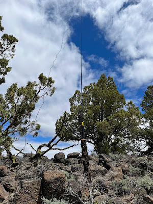
I wasn't sure if I was going to get out to activate this weekend due to the rain in the forecast but things cleared up and it began to warm up so I decided to check out the Horse Ridge activation. I've ridden mountain bikes in the area quite a bit but mostly on the Northern slope of the area. The activation zone is on the southern most ridge, on the opposite side of the Golden Valley as its knows to the local riders. Looking at Google maps I planned to approach from the east via a double track that looked accessible from road 2015 but as I turned onto the double track I noticed the Private Property signs. I continued up the road until I got to a gate and a lot of shelled out old RV's and decided it was a good turn around point.
 |
| Planned route (red) wasn't accessible due to private property |
I pulled up the SOTA Goat App and found a spot to park off of Ford Rd. that was about a 1/2 mile below the activation zone and decided to use my GPS to guide me to the summit.
The contacts came slowly and I struggled a bit copying callsigns but brought a new tool with me this week, a Sony digital recorder with the idea that if I didn't copy the calls after a couple of attempts I could review once at home. This turned out to be a great idea and helped me relax a bit.


No comments:
Post a Comment