|
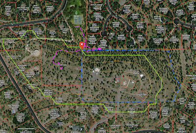
| Awbrey Butte Summit Green: AX, Magenta: Trail, Blue: Fence line |
After a little encouragement from Tim, N7KOM, I decide to try Awbrey Butte, which is arguably the easiest SOTA in the Bend Area. The AZ is only 3.1 miles from my QTH and is accessible from 2 Bend City Parks, Sylvan and Summit. The is notoriously noisy with RFI from the commercial installations in the AZ and higher bands (6M, 2M, 70cm) will likely require a band pass filter to be successful.
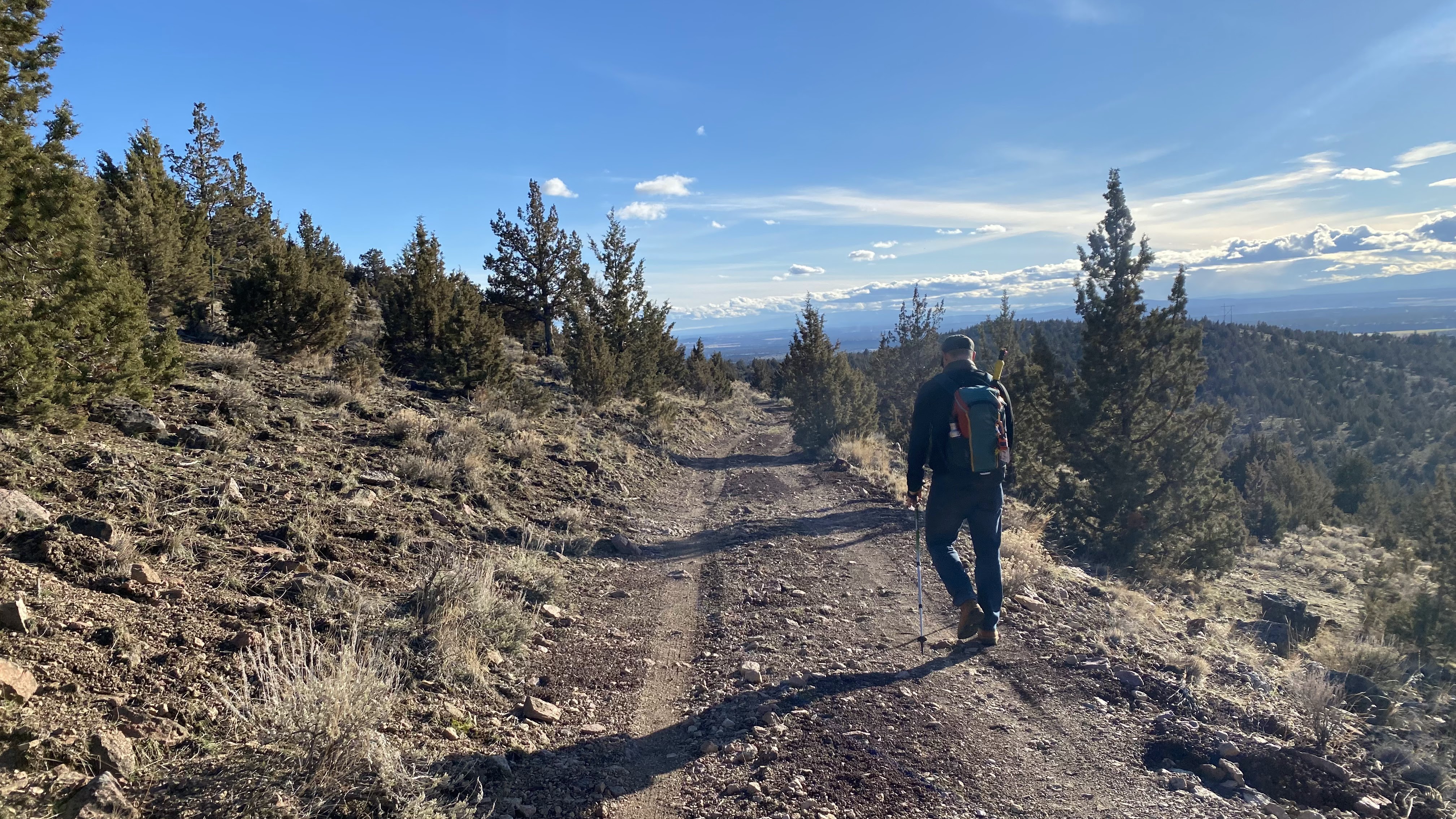
From Sylvan Park, it's about 0.25 miles to the spot where I setup. Having never been up there in the 25 years I have lived in Bend, I decided to take my mast as a precautionary measure. I certainly could have thrown a line in a tree, there are many small ponderosas. There are also plenty of lava rock piles available to hold up a mast. I made quick work of the walk up once I had my bearings and setup behind a lava rock ledge to hide myself from the trail that circumnavigates the summit.
 |
| Ponderosa for wire hangin' |
Using a pile of lava rock to stabilize the mast, which I stuck down a crack in the pile, I hoisted my K6ARK EFHW in the 40M, inverted V configuration into the air. I brought the Icom IC-705 since its internal battery would be plenty of power for the short activation I had planned to do and the short hike didn't necessitate the lightest setup. I originally planned to work 10-40 but realized I left my gloves on the table in my haste to get out while the relatively warm air was still available. After a quick tune up of the antenna on 7.061MHz I hit the key memory and started calling CQ whilst posting a spot via SOTA Goat app. Tim also "spottted" me on the SOTA-NA #general slack channel and the replies came crashing in all at once. First time I have experienced a pile up on my first CQ call!
 |
| Big towers |
 |
| Operating Position behind the Lava |
Over the next 20 minutes I worked 10 stations along the west coast, MT and UT. My fingers started stiffening and my keying was degrading so I made a final CQ before calling QRT. This was exactly what I had wanted to accomplish, a solid CW practice session on a real activation.
 |
| Signs, Signs, Everywhere is Signs |
One thing of note that I would be remiss not to share, while the trail is obviously heavily used, there are a couple of disarming No Trespassing signs. They seem to be targeted at vagrants who might be camping on the summit, however I didn't see any evidence of such. Others have reported that the neighbors are just trying to keep the teenage partying to a minimum. It is not clear exactly where the property boundaries are or who owns what but it something worth calling out.
Awbrey Butte is a very easy walk up and would be a great ride along activation for someone you are might be trying to get interested in SOTA. The drawback is the RFI on higher bands.